Pikes Peak
El. 14,115 feet
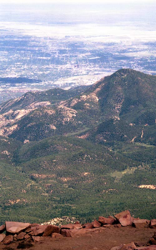
September 3, 2000
Fellow adventurer: Eric Sigler
Following is a trip report with some pictures of my first hike up Pikes Peak in 2000. Eric Sigler and I hiked the mountain at the end of the summer after climbing several other 14'ers. This was our end-of-the-summer challenge!
Approach
On Sunday morning, September 3, I awoke very early, drove down to Boulder and then Eric and I drove another two hours down to Colorado Springs, arriving at the trailhead at around 8 AM. This was a rather late start, especially for a hike of this magnitude, but the weather looked good that day, so we were hopeful of making the summit.
Ascent
We kept a pretty good pace going up, up, and up through the multitude of switchbacks that begin almost immediately. After an hour of hard hiking, it was a bit dismaying to be able to look down and still see the parking lot several thousand feet below! While we were hiking, some guy came running past us UP the mountain -- a member of the Incline Club perhaps? We were pretty amazed that anyone could run up -- it was hard enough just to hike it!
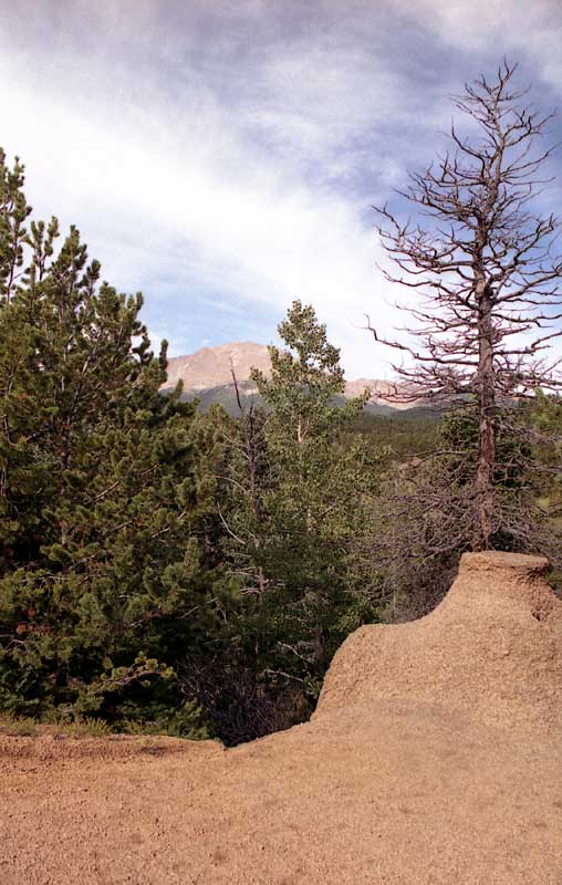
After about an hour, we got our first view of the actual top of the mountain. It looks so far away -- this is a rather discouraging view, for obvious reasons, yet it also reinforces the magnitude and immensity of the peak.
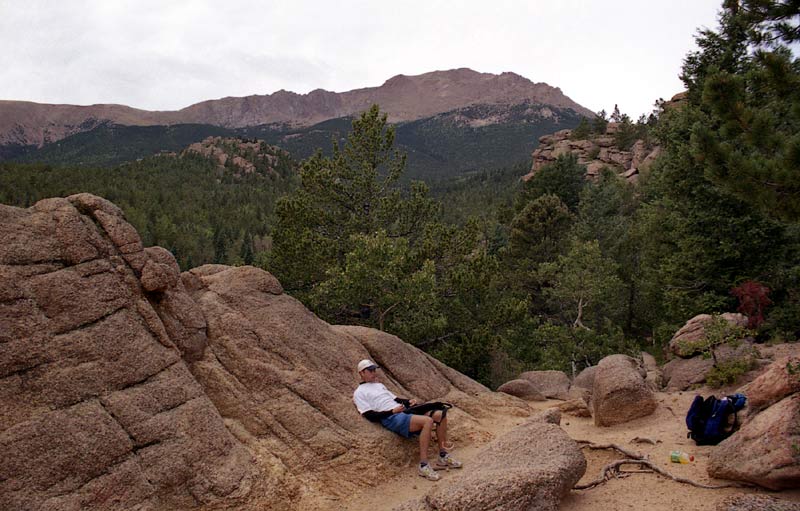
A little tired from our efforts on the switchbacks, we stopped to take a brief rest. At this point, we were about a quarter of the way up. From here the trail takes a gentler turn, and even contains a few downhill stretches! This part goes pretty fast.
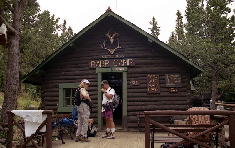
About two and half hours into our hike, we reached Barr Camp, the official halfway point. Many people stay here overnight, taking several days to climb the mountain. More information about this possibility can be found on their web site. We were on a mission however, so after refilling our water containers, taking a snack, and taking in the ambience of the area, we set off for the summit. Altogether, we spent nearly half an hour here.
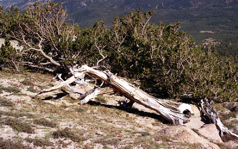
Due to the effects of the altitude and weather, the trees become very gnarly and stunted just before treeline.
These are mature trees, some maybe thousands of years old!
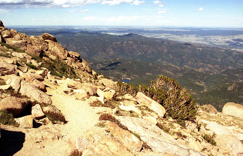
Pushing hard, we passed the A-Frame (the 3/4 mark) and continued up past treeline. At this point, the views are simply incredible. It's a good thing too, because by this point I was feeling quite exhausted. The beauty of the trail and adrenaline were now my power source, as my body wanted to give in after more than 4 hours of hard work.
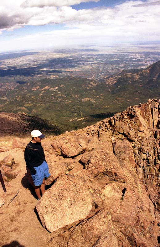
A couple miles from the summit, we passed by the edge of the Cirque, an amazing amphitheatre carved by glaciers. The trail became more rocky and quite steep after this point.
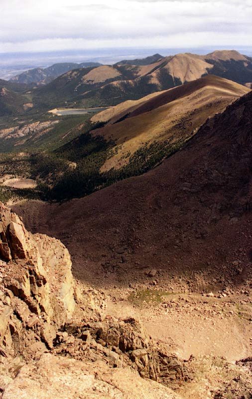
The Cirque! At this point, you know that this is a serious mountain, if you haven't figured it out already. At this stage, we were appreciating all of Fred Barr's hard work!
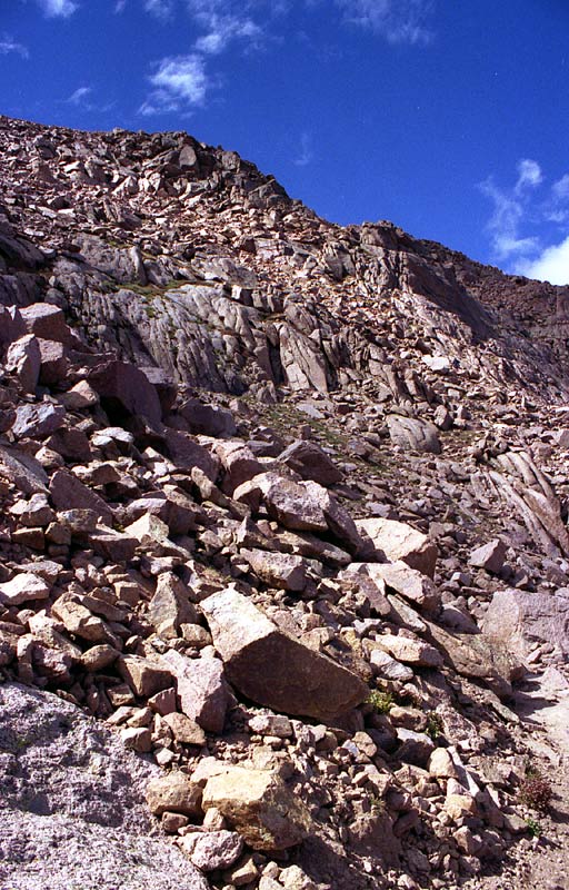
We were going at a pace beyond my 'comfort zone', and I started to feel nauseous, probably because I failed to eat enough on the way up. Soon the summit was in sight, so we pushed on.
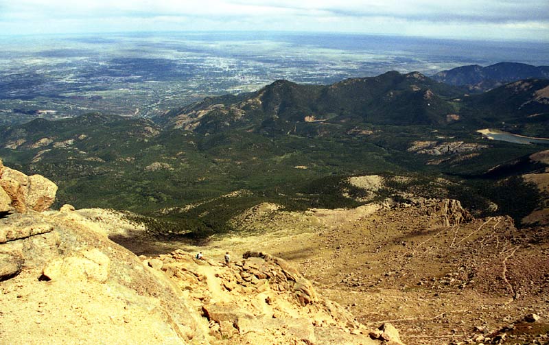
The last mile of trail is quite amazing -- the switchbacks get tighter and tighter and the views are incredible. The great thing about switchbacks, is that when you're going up, you can see where you just came from. The bad thing about them is that it can be annoying on the descent -- it seems to take forever, especially when you can see every turn and jog of the trail. But these distinctions are all just philosophical! It is much easier to go up switchbacks than to go straight up the mountain (as is required on many routes up other Colorado 14'ers).
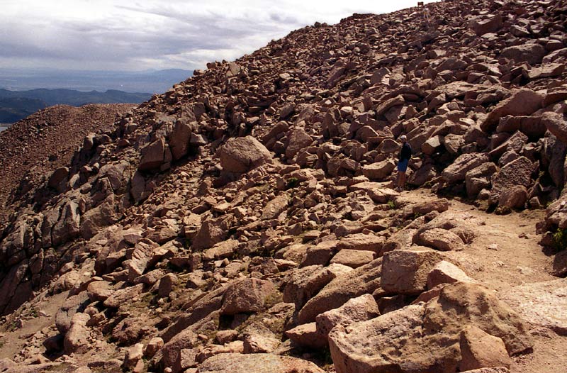
We started to see people walking around high above us, and a bit later, we were there! We summited after 5h40m of hiking.
Summit Experience
I have more pictures, including some that I may stitch together into a panoramic when I have lots of free time and get bored. For now, enjoy these:
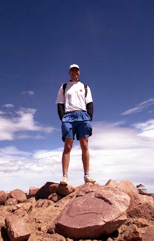
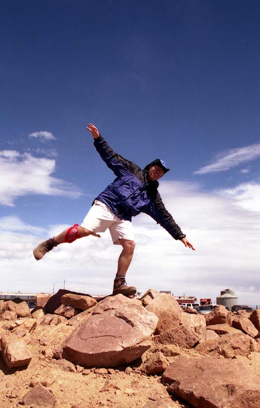
Getting to the top is a bit anticlimactic, because it is basically a huge parking lot with a gift shop. We saw a bunch of tourists walking around, some probably wearing Pikes Peak t-shirts and scarfing down hot dogs from the refreshment stand. The crowd notwithstanding, you can tell by the smiles on our faces that we were quite proud of our achievement! At this point, I actually felt quite bad -- I had pushed myself too hard going up and had gotten the combination dehydration/low blood sugar/altitude combo -- basically, you feel pretty rotten -- headache, nausea, and no energy. Once you reach this stage, it is quite difficult to even think about eating, yet this is the way to come out of it -- get some energy and fluids in your body. It was quite cool on top as well, probably in the low 40's with a stiff breeze.
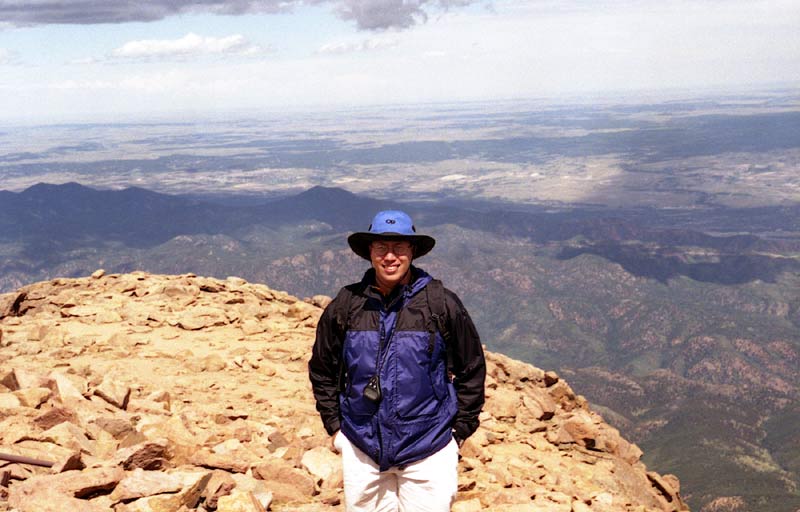
By this time, I was getting quite chilled -- time to start down.
Descent
Getting up the mountain is only halfway -- you still have to get down. In this case, we had a LONG ways to go!
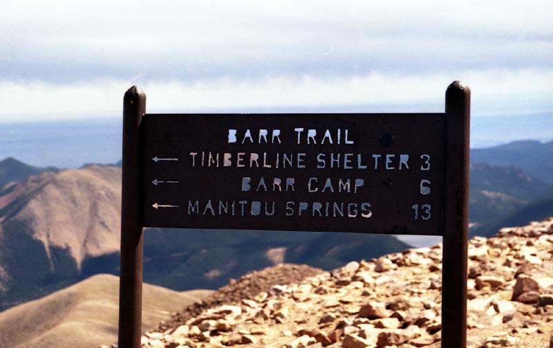
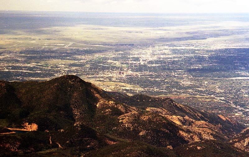
After about 20 minutes, we headed down, but not before enjoying the amazing view that inspired the words to 'America the Beautiful'. Colorado Springs is an amazing 8000 feet lower! I don't imagine the city was this extensive back when the song was written, but it was still beautiful indeed.
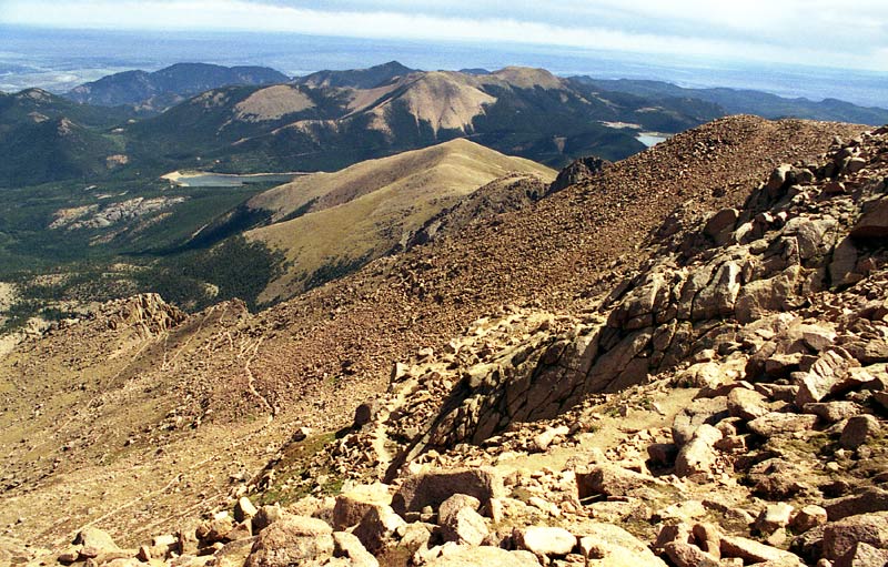
Remember all those switchbacks -- now we got to go down them. We made fairly good time going down (I think we even ran the first couple miles), but soon I 'bonked' -- I ran out of energy, a phenomenon often experienced by runners during the latter stages of a marathon -- this gives an idea of the level of exertion required to do Pikes as a day hike! We stopped for another 20 minutes or so at Barr Camp to get more water and try to force down some food. By this time, I was not feeling very well at all. To add to my misery, my feet were getting beaten up (I was wearing hiking boots) and blistered. Chafing was becoming a problem as well. But we still had 6 more miles to go! As we got lower, it became warmer and warmer until it was downright hot.
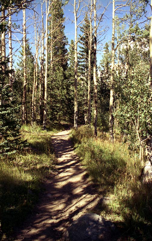
The trail is very nice for several miles below Barr Camp, passing through a 'Hansel and Gretel' forest.
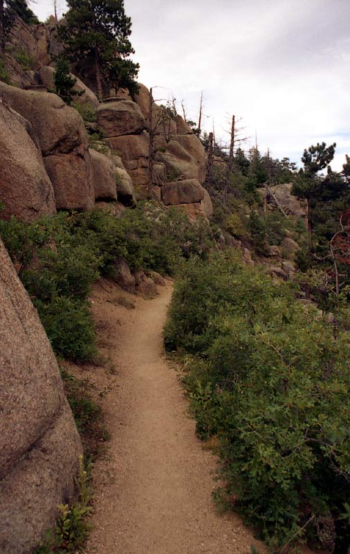
The trail passes through some interesting rock formations, but by this point, I was too exhausted to care. Every step was torturous and I was just focused on getting back to the car.
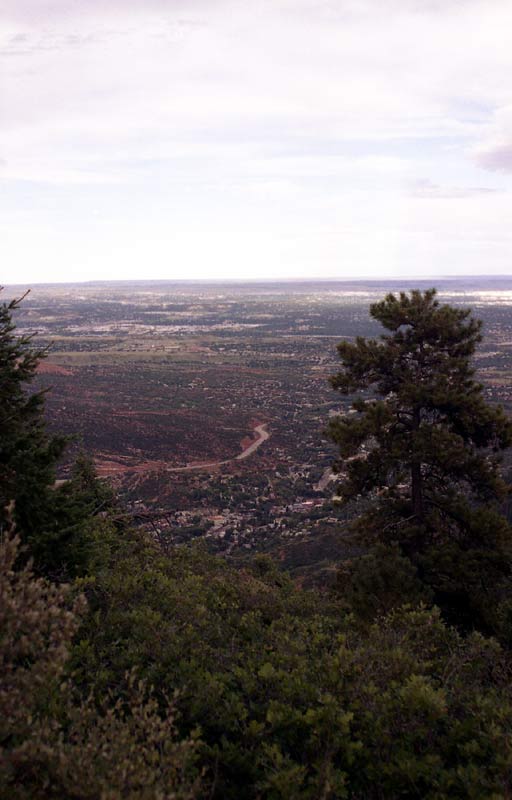
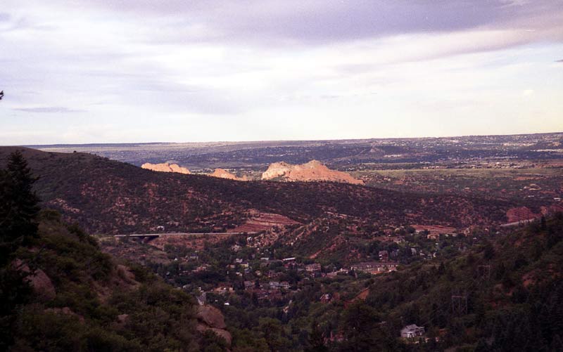
Here is the first good view of Manitou Springs -- only about 2000 feet of descent left. At this point, I was out of energy and hobbling in pain. A huge heel blister had developed on my foot.
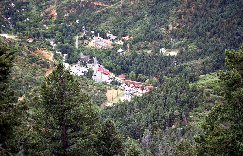
Here is the view of the Cog Railway and the parking lot. It looks so close, but yet feels so far!
We finished up right at 6 pm, a total of 9:59! I 'ran' the last stretch in order to keep my total time under 10 hrs.
I finished in a state of severe dehydration and lots of pain, but altogether, the hike was fantastic. Besides all the pain, the views were great, and I felt very proud of conquering the mountain. We quickly drove over to Taco Bell and started ordering up a storm. After drinking what must have been quarts of water, we headed up I-25 for the long drive back to Northern Colorado.
Statistics
Our ascent time was 5h40m and our descent time was 3h59m. With about 20 minutes on top, that gives a total time of 9h59m. In that time, we traveled a foot-blistering 24 miles and climbed 7400 vertical feet! This far exceeded any hike I had done up until that time! Altogether, I burned an estimated 5500 calories, and although I drank at least 6 quarts of fluid, I still managed to lose many pounds due to fluid loss. This was about the worst I had ever felt on a hike before -- yet in light of all these seemingly bad things, I think the hike went well overall. It was a great learning experience (for instance, I learned that hiking boots will not be friendly to your feet after 20+ miles -- for a trail like the Barr Trail, it might better to wear a lighter shoe), and I survived without needing medical attention. With some great recovery food, about a gallon of fluids, and some Advil, I started to feel much better.
Little did I know, but in less than three years time, I would be destined to run the Pikes Peak Marathon! To learn more about this adventure, visit my Pikes Peak Race Diary (if you didn't just come from there to get here :)
This page has been accessed times since May 31, 2005.
Home | About this Site | Disclaimer || Site Map | Subscribe to be notified when new content is posted to this site
|
Home | About this Site | Disclaimer || Site Map | Subscribe to be notified when new content is posted to this site
|