Home | Personal | Outdoors | Travels | Blog | Work | Weather | Site Map
|
Home | Personal | Outdoors | Travels | Blog | Work | Weather | Site Map
|
|
|
Home | Personal | Outdoors | Travels | Blog | Work | Weather | Site Map
|
The purpose of this page is to provide some resources for tracking Hurricane Rita. The first part contains information for the general public, including links and resources to official sources of information. The rest of the information is quite technical, and includes some links that I find interesting for watching the various aspects of the storm.
Links in green are pages and resources that I have created and maintain.
Hurricane Maps and Evacuation Info from the Texas Department of Public Safety
Louisiana Evacuation Routes and contraflow instructions from the Louisiana State Police
Florida County Surge Maps and Evacuation Routes from www.FloridaDisaster.org
Other Hazard Maps (for the entire nation)
AP Breaking News (from Tampa Bay Online)
All vortex reports for Rita (also updates every 30 minutes)
Recon data archive (updates every 30 minutes on the hour and half hour)
Model Guidance Products Plots of storm track and intensity from various numerical models and forecast aids
Experimental forecast Tropical Cyclone Genesis Potential Fields Model fields from various global and hurricane models -- from Florida State University
National Weather Service Radar Page
Lake Charles, LA (KLCH) Radar Loop Extended BR Loop from Weathertap (Subscription required)
Houston/Galveston (KHGX) Radar Loop Extended BR Loop from Weathertap (Subscription required)
Tropical Cyclone Heat Potential
NRL Real Time Ocean Environment - MODAS
Surface Observations for Central Gulf Coast (UCAR/RAP)
Surface Observations for Florida (UCAR/RAP)
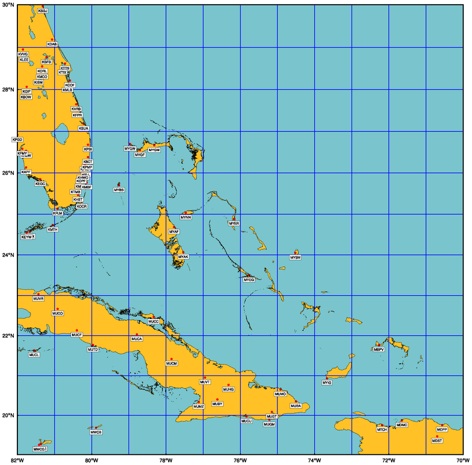
The following surface observations courtesy of the RAP-UCAR Weather page. Use the map below to find the ICAO identifiers.

Home | About this Site | Disclaimer || Site Map | Subscribe to be notified when new content is posted to this site
|
Home | About this Site | Disclaimer || Site Map | Subscribe to be notified when new content is posted to this site
|