Home | Personal | Outdoors | Travels | Blog | Work | Weather | Site Map
|
Home | Personal | Outdoors | Travels | Blog | Work | Weather | Site Map
|
|
|
Home | Personal | Outdoors | Travels | Blog | Work | Weather | Site Map
|
Solo Backpacking on Signal Mountain and Stormy Peaks PassAugust 28-29, 2009This is a "mini" trip report of an overnight backpacking trip in which I camped at the top of Signal Mountain, traversed through the wild and remote north section of Rocky Mountain National Park up to Stormy Peaks Pass, then descended via Twin Lakes, completing a loop back to my car. I had planned to go with a friend, but that didn't work out, so then I asked several other groups of friends and acquaintances, even a postdoc at work who I barely knew - they all had good excuses, like, "oh, sorry, I'm at a conference in Michigan" - pitiful! Where are your priorities people? :) All I can say to that is: "Many are called, but few are chosen." So I decided to go by myself - I'm good company and can keep myself entertained! (You're never alone if you remember that you have yourself.) Well, it ended up being a very rewarding trip. I had lots of time for personal reflection and to NOT think about my dissertation!
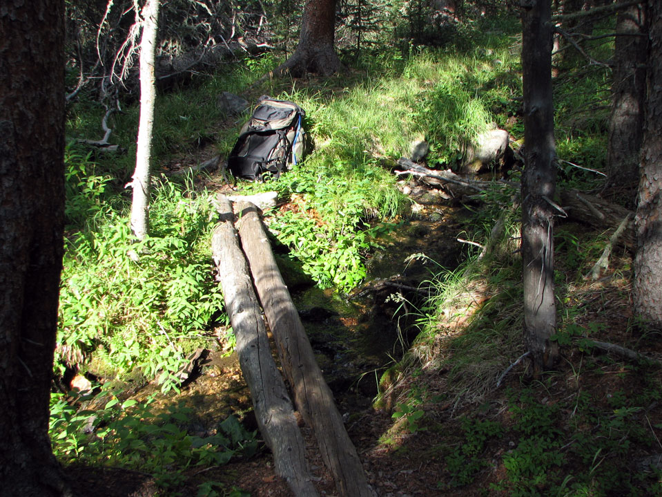
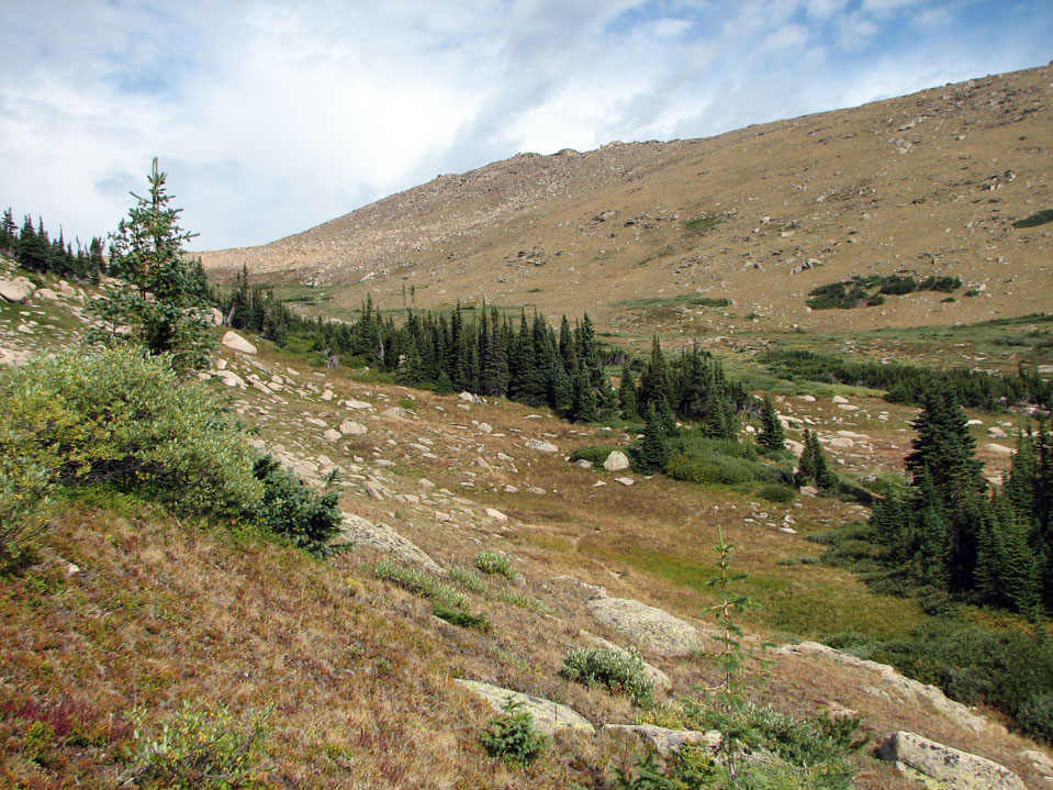
The Signal Mountain Trailhead winds along a creek through lush forest. As it climbs higher along the north-facing slope, you'll find many sections with moss-covered trees. This creek crossing is the last place to get water before the trail climbs steeply up to the ridge. I was quite pleased that excluding water, my pack only weighed 27 lbs!
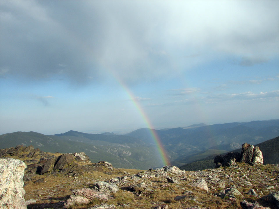
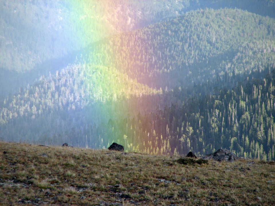
After 5.4 miles and 2700 feet of ascent, I arrived at the summit at about 5:35 PM (total time of 2h07m). About 15 minutes later, a little storm hit with wind and rain. Shortly afterwards, a beautiful rainbow appeared!
I like rainbows because they always remind me that God has good things in store for me, even if I can't see the future. While there may be no pot of gold at the end of this rainbow, I do know that ultimately everything works together for good for those who love God.
So when life throws lemons your way, make lemonade! (or when it rains, enjoy the rainbow!).
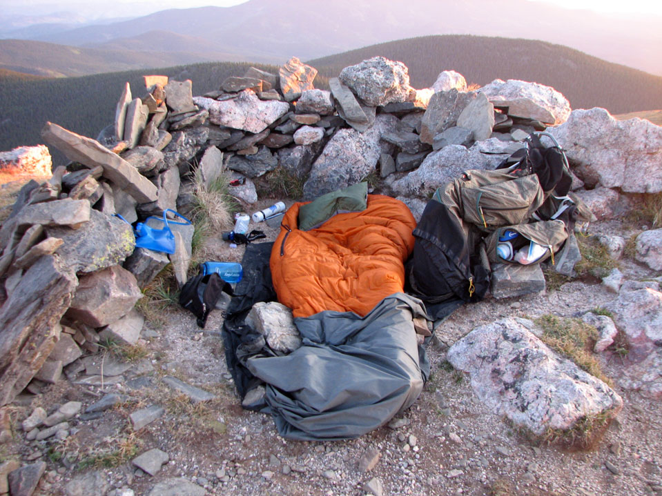
I camped at the very summit of North Signal Mountain (El. 11, 262 feet). This is just outside of Rocky Mountain National Park, so it doesn't fall under their backcountry regulations. What a view!! It can be very windy up there, but the summit rocks offer a bit of shelter if the wind is from the west or north. Anyway, if you try this, make sure you get a good weather forecast - it would be an unhappy place to be during a lightning storm. There are some more sheltered places to camp a few hundred feet down at tree line, or in the last meadow before tree line when coming up the ridge to the summit. This mountain gets quite a few hikers in the middle of the summer, but chances are pretty good that you'll have solitude if you camp up here and leave early enough in the morning. The last person to sign the summit register was back on August 17 - eleven days earlier. Just as I was packing up to leave the next morning, however, a man appeared dressed in camouflage and carrying a cross bow. It was the first day of elk season and he was already looking. I was relieved that it was elk that were being hunted and not summit campers!
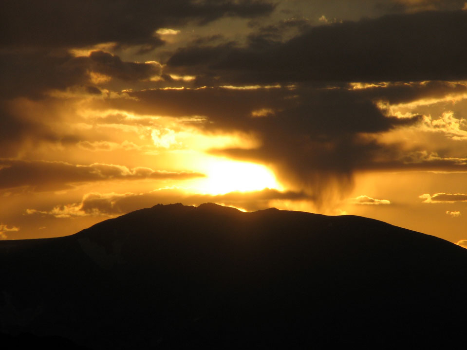
Here is the sunset that I saw from my sleeping bag.
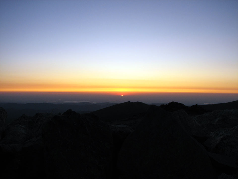
And the sunrise the next morning. All I had to do was lift up my head and peek over the summit rocks :)
The sun peeked back . . .
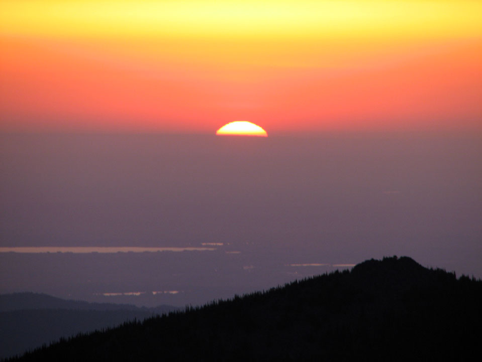
Rising over Lookout Mountain in the foreground, with Fort Collins in the background.
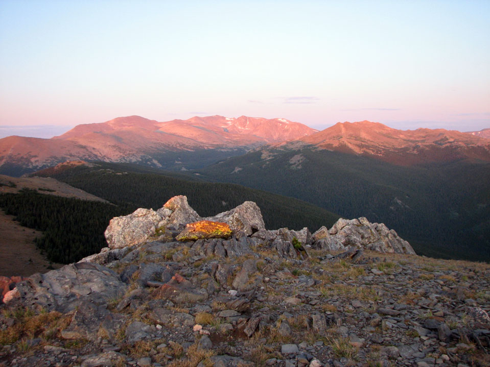
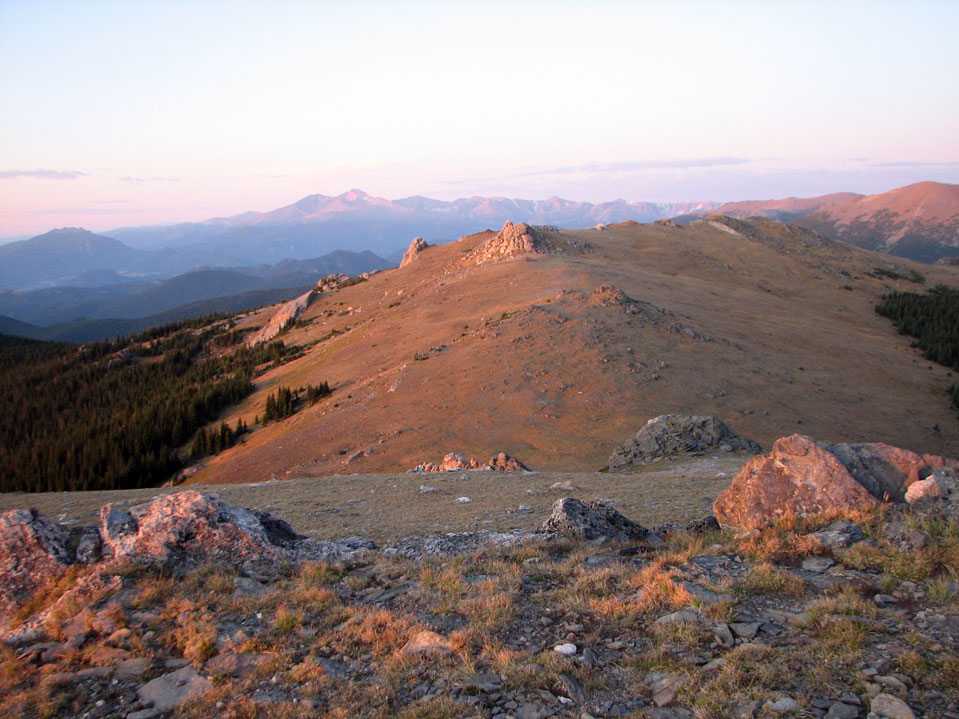
Looking west at dawn - Stormy Peaks is on the right - my next destination for today's hike.
Looking south toward South Signal Mountain and Longs Peak.
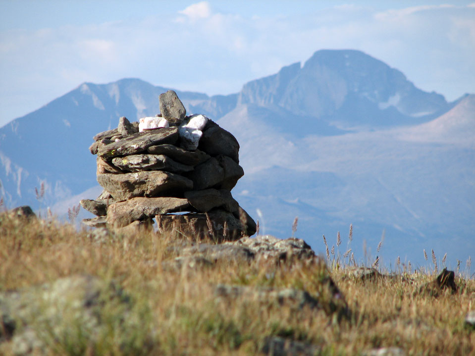
The "trail" over to Stormy Peaks starts off as a series of cairns. You just have to keep an eye out for the next rock pile (sometimes tricky to find). Longs Peak looms in the background.
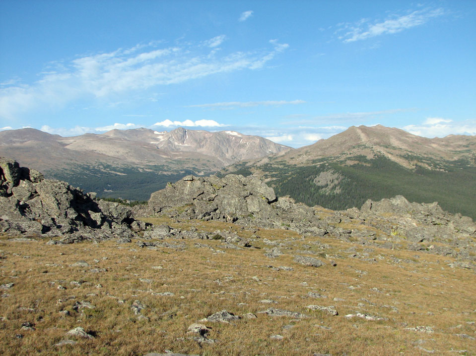
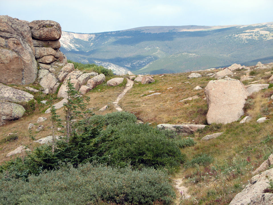
For the first mile, you are right around tree line, then the route drops down a ridge along the park boundary.
I reached the low point and started the steep climb up towards Stormy Peaks Pass - this is one of my favorite stretches of trail in all of Colorado. I've only been back here twice, but I've never seen anyone on this stretch of trail. It is in a pretty remote part of the park.
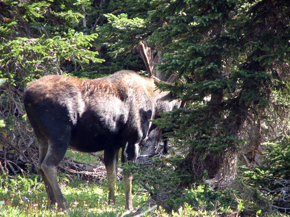
I was lost in my thoughts when I heard a loud snort - I looked up in time to see a huge bull moose staring at me from only about 30 feet away! Moose are probably the most dangerous animals you can encounter in Colorado. And it was getting toward rutting season. Well, he let me know he was there. I stepped around the corner and got out my camera, but by this time he had stepped behind a tree. I snapped this picture and we parted amicably - always a good thing when it comes to moose!
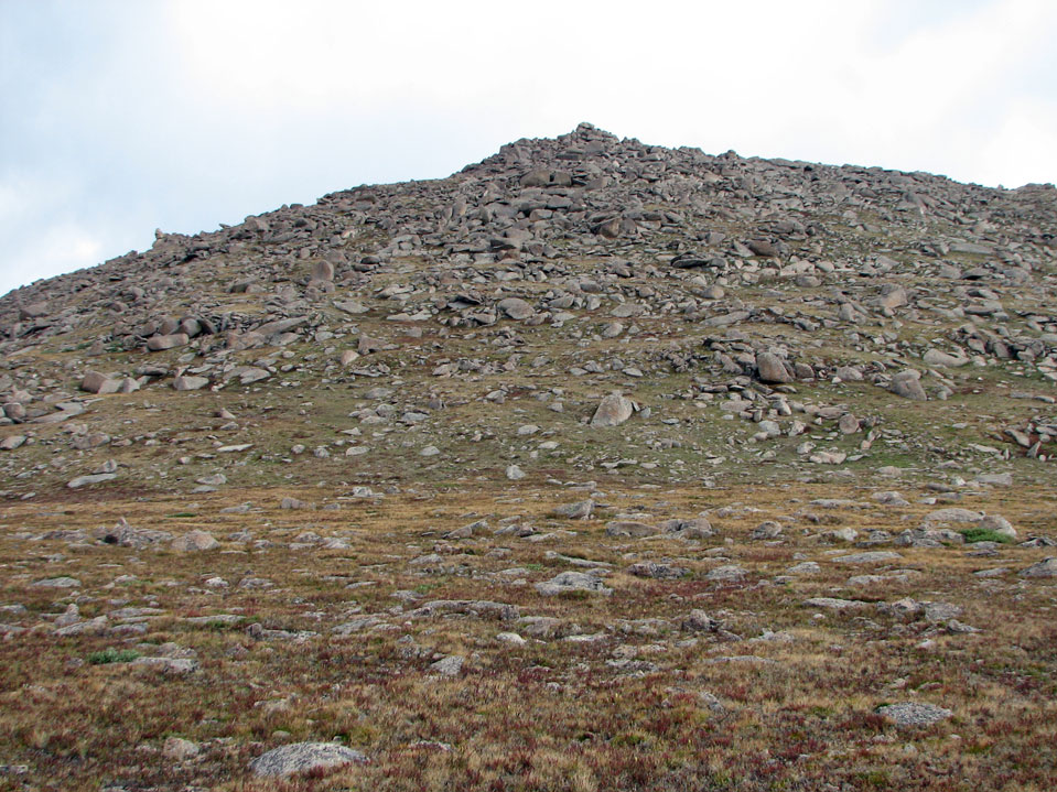
This is the view looking up toward Stormy Peaks Pass.
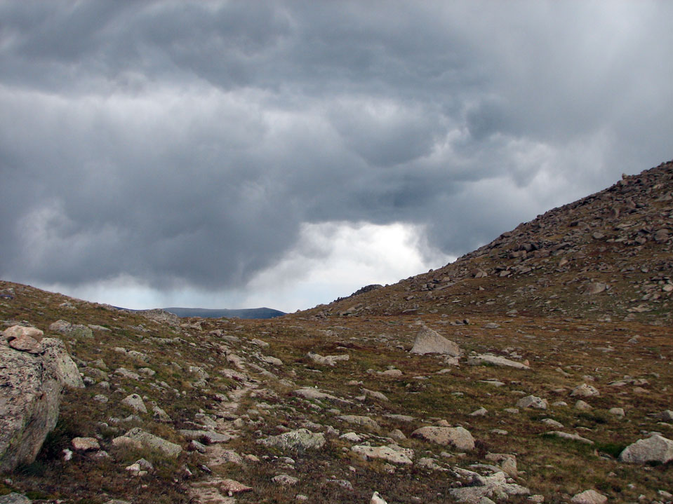
By the time I got up to the pass, Stormy Peaks was living up to its name!
I had hoped to climb up to Stormy Peaks - another 600 feet higher, but decided not to with the weather rolling in. About 20 minutes later it turned sunny . . .
Heading down the trail towards Pingaree Park.
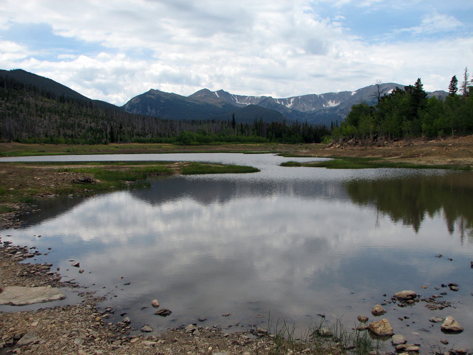
You don't actually have to go all the way to Pingaree Park (which would leave you walking for about 4 miles on hot, dusty road to get back your car at the Signal Mountain Trailhead). Instead you can take a shortcut through Twin Lakes. It's tricky though - a GPS is recommended. If you mess up, you could get stuck in a terrible bog full of downed trees and mosquitoes. This time I found the secret passageway - the trick is to go all the way down the trail PAST the aspens (where the tornado went through in 1990, and a forest fire subsequently burned). When you already have a good view of Pingaree Park and reach about 9350 feet, just past the stretch of young aspens, head east off the trail and up over a rise. The lake is about a quarter of a mile of relatively easy bushwhacking. Keep track of which way you came from - if you mess up, it might be best to get back to the trail and walk the extra 1.2 miles. I felt like taking a dip to refresh, but the lake was almost completely drained (it was nearly full a couple months ago). As I got down to the Pingaree Park road, a nice gentleman drove past in his pickup truck and offered a ride - I accepted, saving me about 1.7 miles. The total distance for this loop (without the kindness of strangers, and with the Twin Lakes shortcut) is about 18.9 miles and 5000 vertical feet. Without the shortcut, this will be just over 20 miles. There is no cell phone coverage for almost the entire route, except you may get a signal from the very top of Signal Mountain (no pun intended) if you know where to point your cell phone (I have Verizon). You'll likely only see people near the ends of the trails. The traverse between Signal Mountain and Stormy Peaks is infrequently traveled - you're pretty much on your own if anything happens. In summary, this is a fantastic route through one of the more remote and beautiful stretches of the Front Range. If any of my friends would like to try this, I'd be happy to take them on this route. The best times to backpack this route are during July and to September. The wildflowers probably peak in mid-July, and the Fall colors probably peak in the middle of September. |
Home | About this Site | Disclaimer || Site Map | Subscribe to be notified when new content is posted to this site
|
Home | About this Site | Disclaimer || Site Map | Subscribe to be notified when new content is posted to this site
|