Home | Personal | Outdoors | Travels | Blog | Work | Weather | Site Map
|
Home | Personal | Outdoors | Travels | Blog | Work | Weather | Site Map
|
|
|
Home | Personal | Outdoors | Travels | Blog | Work | Weather | Site Map
|
Fellow Adventurer: Eric Sigler
Use Note: this page will take approximately 11 minutes to load on a 56 Kb/s modem. Grab a cup of hot chocolate if you have to wait on a slow connection -- the pictures will be worth it!
Mount Lindsey is one of the four 14'ners that make up the Blanca Group in the Sangre de Cristo Range. Sitting two and half miles east and about 300 feet lower than Blanca, Mount Lindsey offers sublime views of the rest of the Blanca Group including the spectacular mile-long wall between Blanca and Ellingwood Point.
We used the Huerfano River Trailhead, which is about 50 miles off of I-25. We drove down the Front Range (Fort Collins and Boulder) on July 27, 2002, and by the time we arrived at this very remote trailhead, we understood why it was named so (Huerfano means "orphan" in Spanish). Passing rustic farms, run-down buildings, a Catholic grotto, and mountain ranches, it was easy to imagine that we were in Mexico instead of Colorado. About 35 miles from the interstate, the road turned to dirt. At about 40 miles, it turned rougher. A mile before the trailhead, it was quite a bumpy affair -- but the scenery was amazing. We parked at the Huerfano River Trailhead, El. 10,660 feet. The trailhead was a couple hundred feet above the river, offering an interesting view down into the gulch.
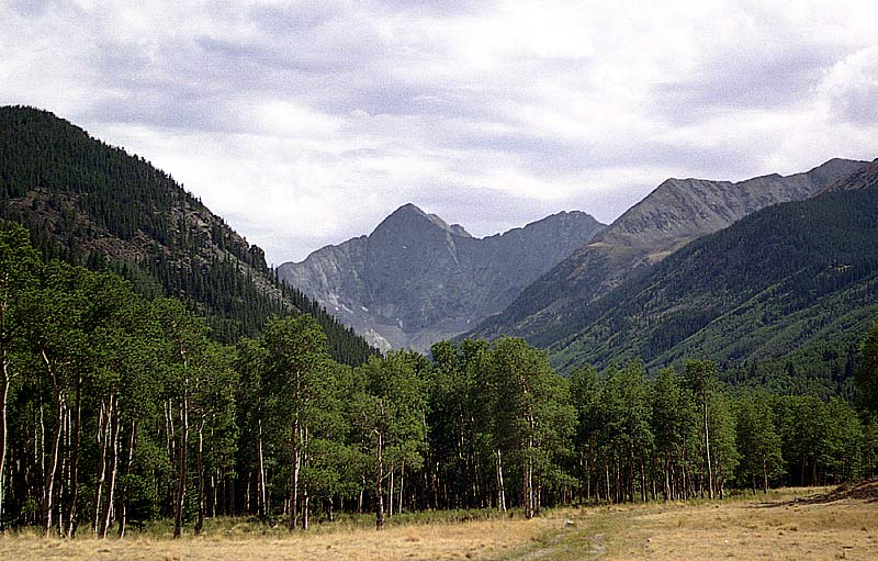
We passed this amazing view of the wall between Blanca and Ellingwood Point on the road a few miles before the trailhead.
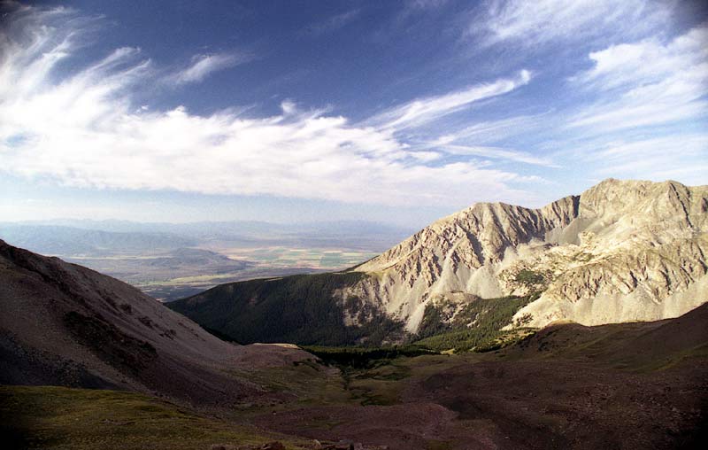
We started off with our backpacks on a Saturday afternoon. The trail descended for the first quarter mile or so until it met the river. The first mile and half was quite flat, traversing a quiet meadow and some woods. Then the trail crossed the river a few times and headed steeply up on the edge of a scree field into a hanging valley, paralleling a cascading brook. At about 12,000 feet the trees thinned and the narrow valley opened up into a lovely, yet somewhat forlorn basin.
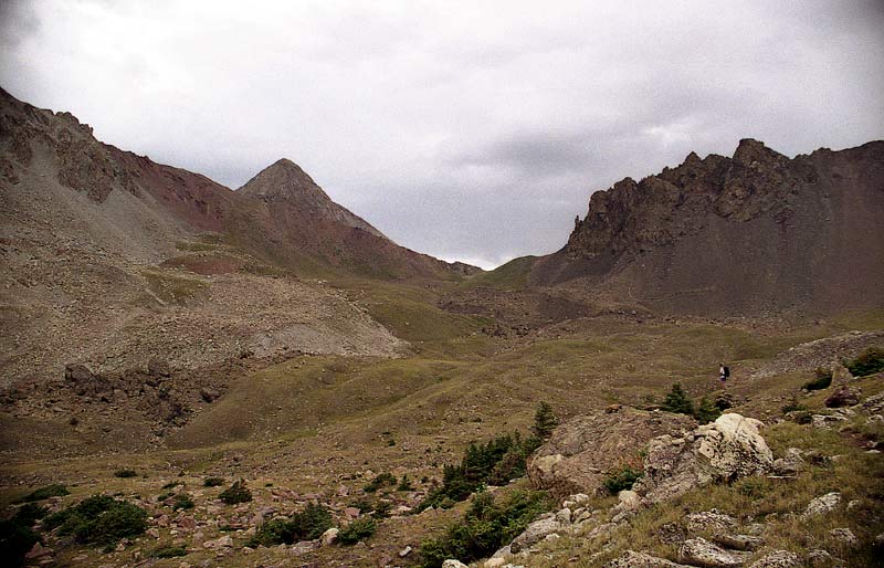
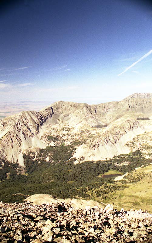
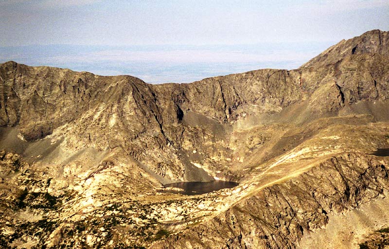
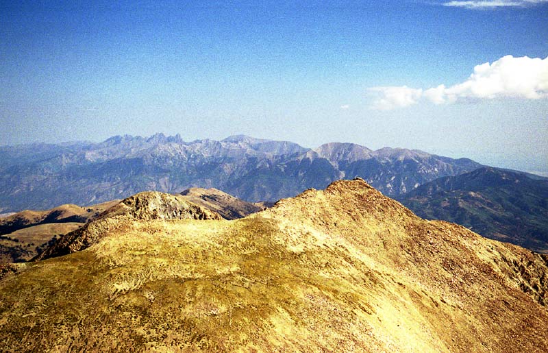
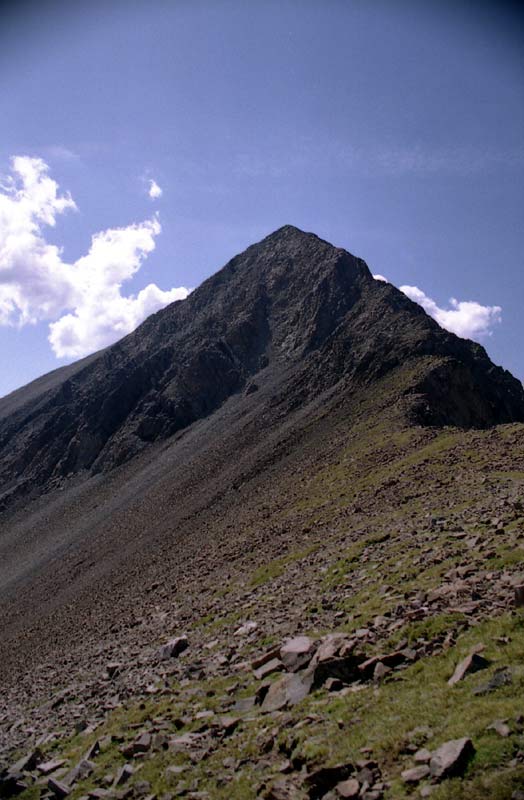
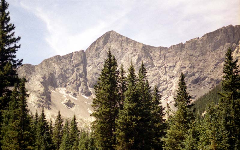
Here's the view looking south into that forlorn basin. Lindsey's summit pokes up above the ridgeline just left of center.
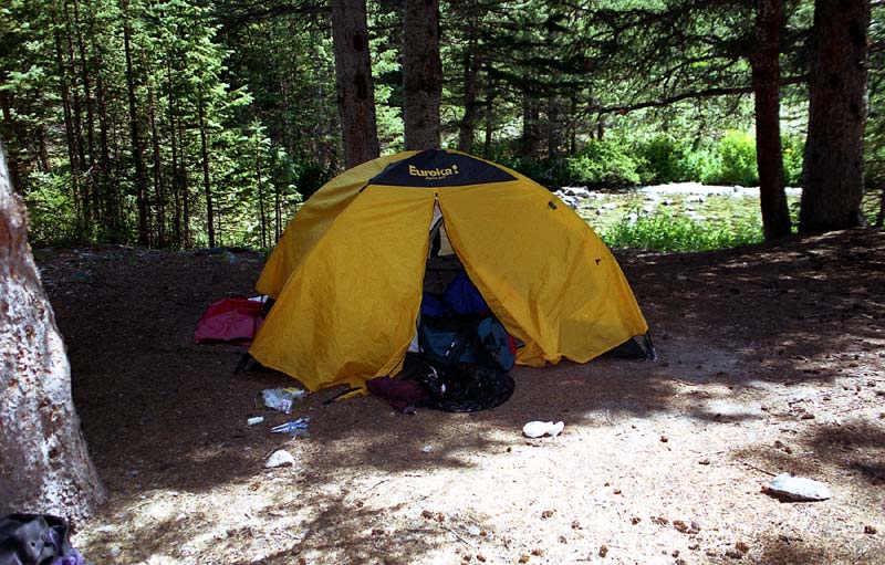
Here's the view from our campsite. We camped a little west of the trail next to a dried up pond. The last water source we found on the trail was a small pond a bit to the left of this picture. Just as we arrived at our camp site, a rain shower came over. Eric hunkered down in his bivy sack while I sat under my pack poncho. Within 10 minutes, the rain stopped and the sun came out, offering a spectacular sunset.
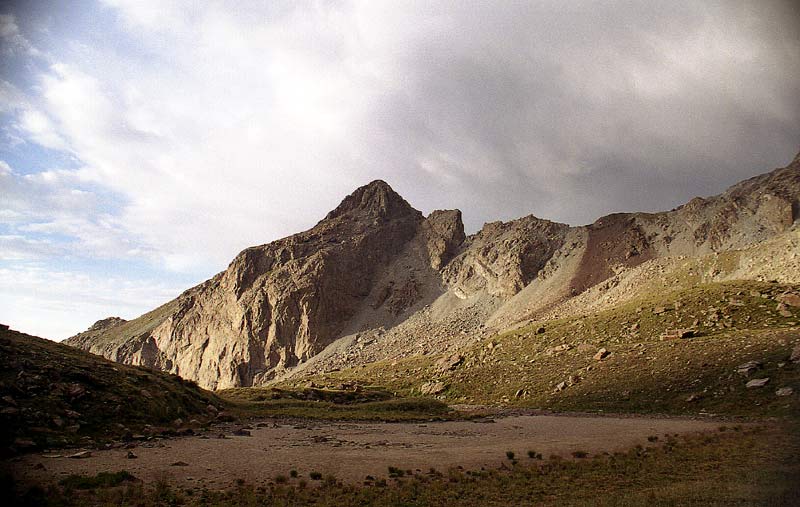
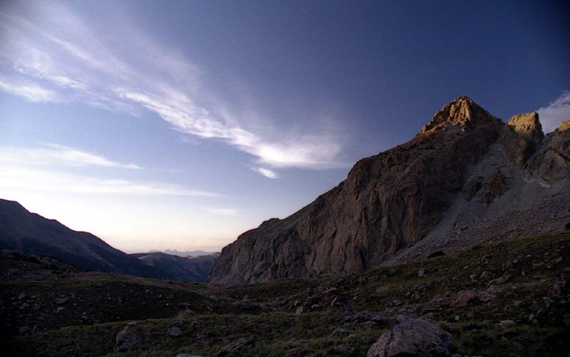
As the setting sun peaks out, menacing clouds slide by Lindsey's summit.
The last rays of the sun hit the nearby peaks. The mountains in the distance are the Crestone Group.
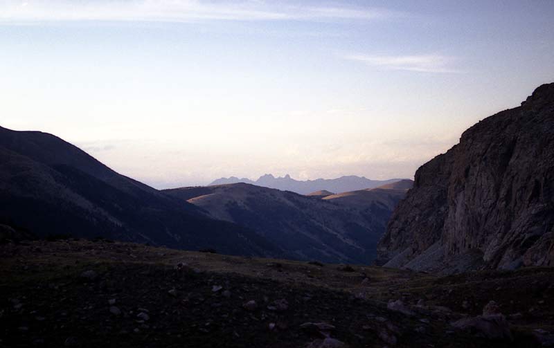
A close-up view of the jagged Crestone Group.
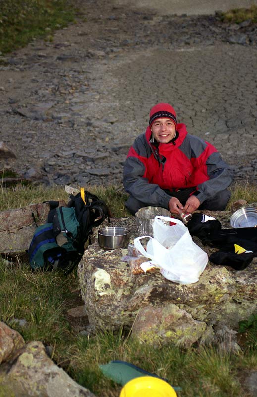
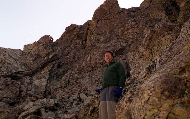
Eric cooks some dinner.
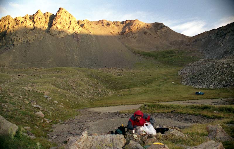
I seem to always forget to take a picture of camp, but you can see it in the distance.
I woke up early the next morning (I don't sleep well outdoors, and the brief rain showers and wind during the night didn't help), ate a quick power breakfast, and filtered some water. We hit the trail by 7:15 AM. The trail started climbing steeply, reaching the 13,000 foot saddle between the Iron Nipple and Lindsey in about a mile. The views were spectacular and the air was crystal clear, making for excellent photographic opportunities.
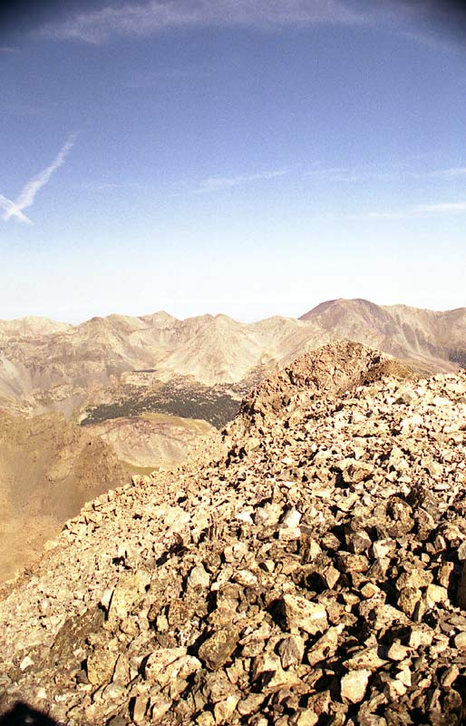
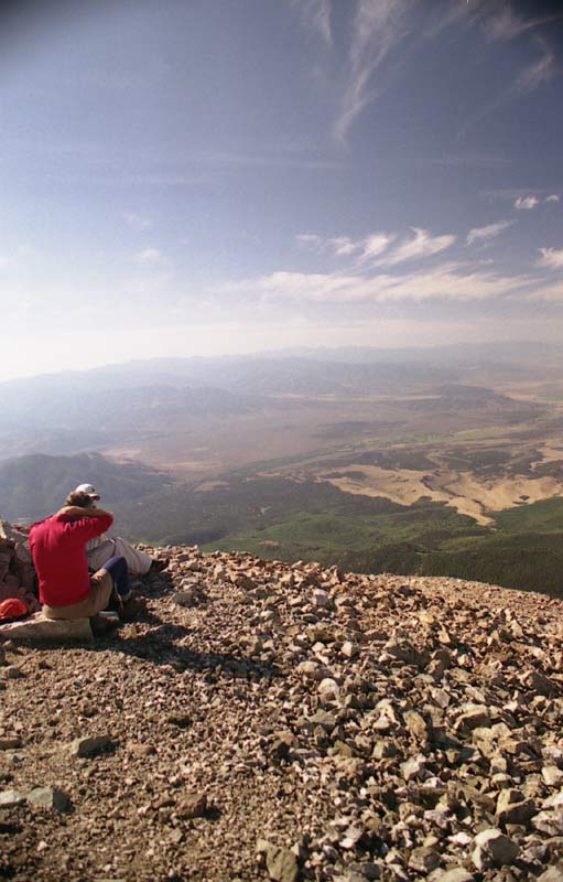
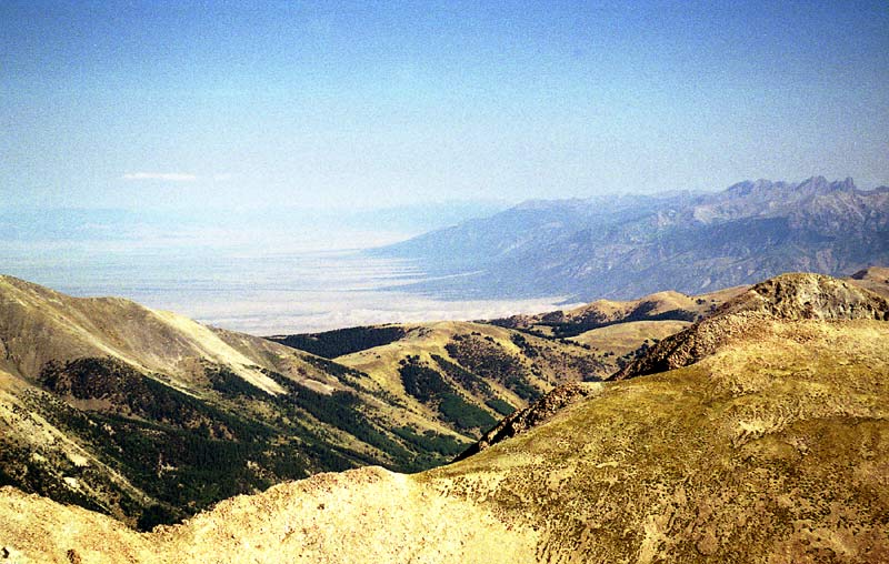
Here's the view from a bench below the saddle looking toward the south. The farms of the San Luis Valley are clearly visible.
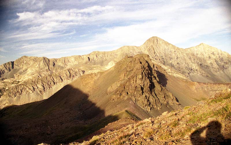
Here's the view looking westward. The imposing wall of Blanca and Ellingwood and the rugged connecting ridges explain why Lindsey is not usually done as a Blanca combo. All but the heartiest souls do Lindsey as a separate hike.
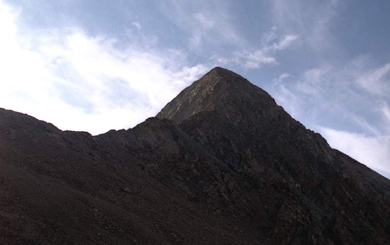
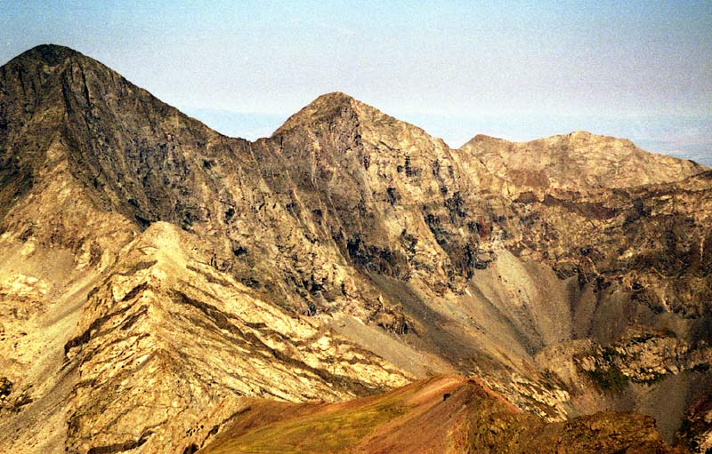
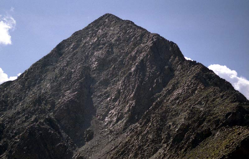
As we ascended toward the 13,000 feet saddle, we were greeted by the dark hulk of Lindsey's Northwest Ridge. I began to worry a little about how we were going to surmount the seemingly difficult ridge. When we arrived at the saddle, we were refreshed by the sunny view of the other side. There were other somewhat easier routes, but the most interesting was the jagged class 3 Northwest Ridge. As we climbed up the saddle, we could see two possible was of getting up the ridge:
1. We could stay a bit below and to the east of the ridge and climb what looked like a steep, loose, rubble-filled chute up to more solid rock. This option (I think this is the class 2+ route mentioned in Gerry Roach's book) looked less scary, but perhaps more unpleasant than alternative 2, since we would have to descend somewhat and cross into the steep scree gully.
2. We could climb the exciting Northwest Ridge! Of course, we chose option 2. The ridge sharpened into a narrow, jagged knife-edge ridge as we got closer to the crux of the route. Soon we were committed to this option -- the sides of the ridge become so steep that to take option 1, we would have to backtrack down the ridge.
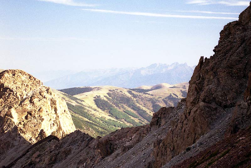
While waiting to gain my courage before attempting the scary ascent, I caught this interesting view of the Crestones. The intermediate ridge is above the trailhead. The grass covered hilltops belie the intense weather that occurs at these altitudes.
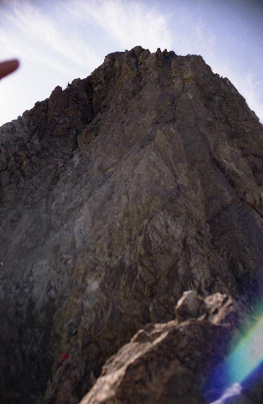
Looks scary, huh? That's what I thought, not having much technical climbing experience. To the right of the 'ridge' (at this point, it seemed like the knife-edge ridge simply ended in a cliff, so calling it a ridge seems a bit of a stretch), a nearly vertical cliff soars upward over some tremendous exposure. The rock a bit to the left holds the key for passing this exciting spot. The hardest part is in getting from the knife-edged ridge onto the rock and climbing the first 20 feet up -- not because of the difficulty, but because of the exposure, which could be mentally paralyzing for the uninitiated. After about 10 minutes of contemplating important concepts such as life and death (actually, a nutrition and rest break to help my legs stop shaking), I tenderly made my way down the last tooth of the knife ridge and started climbing the wall. Eric, who is more confident on rock like this, carried my pack. The rock was surprisingly solid and not as steep as it looked, but still exposed. I soon discovered that most of the difficulty was mental -- there were no hard moves, but the steep drop-off gave cause for extra care. We soon came into a steep, but more protected gully from which we climbed up and over onto the top.
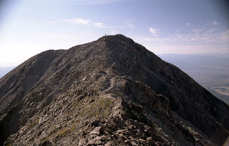
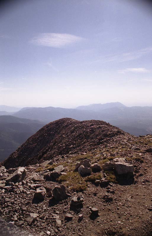
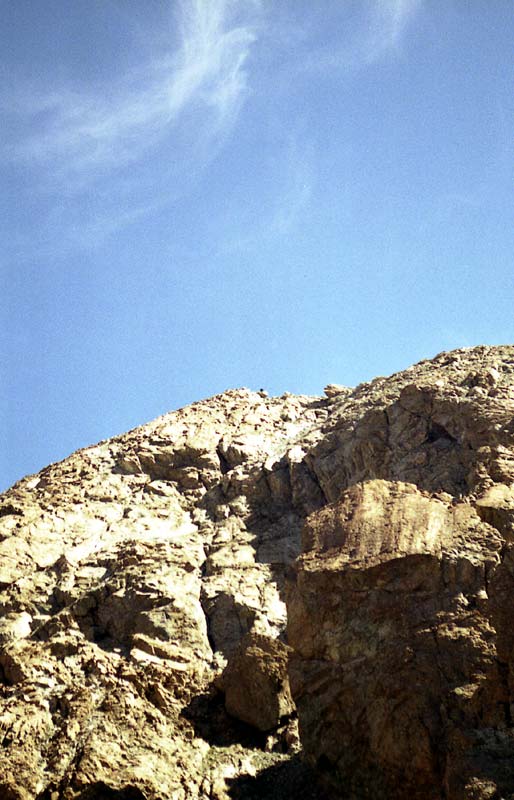
Climbing up and out of the steep gully leads to easier ground -- soon cairns and a trail even appear, but there is still a few hundred feet to ascend. Shortly, you finally see Lindsey's summit. A few people are already there.
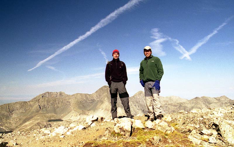
I arrived at the summit at about 9:15, about two hours after leaving camp. The weather was mild for the time of day -- some chilly breezes, but warm sunshine. There were only a couple other guys at the summit this early in the morning.
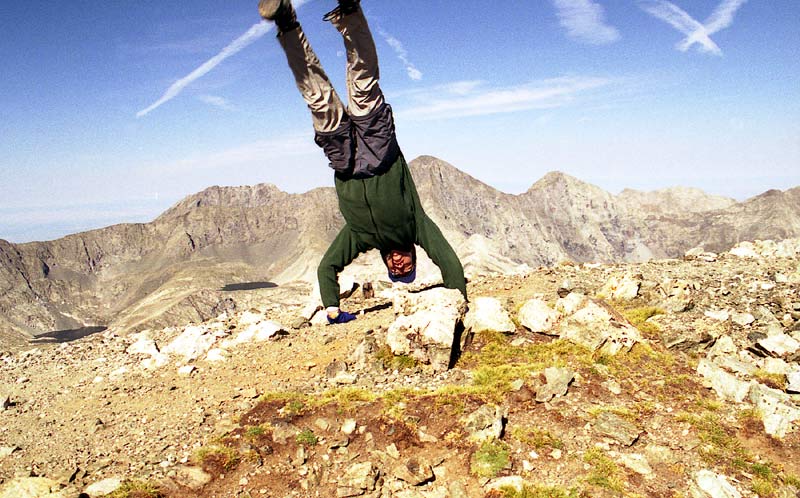
Time for the crazy summit shot! I figured a handstand was appropriate considering the spectacular view of Blanca's wall.
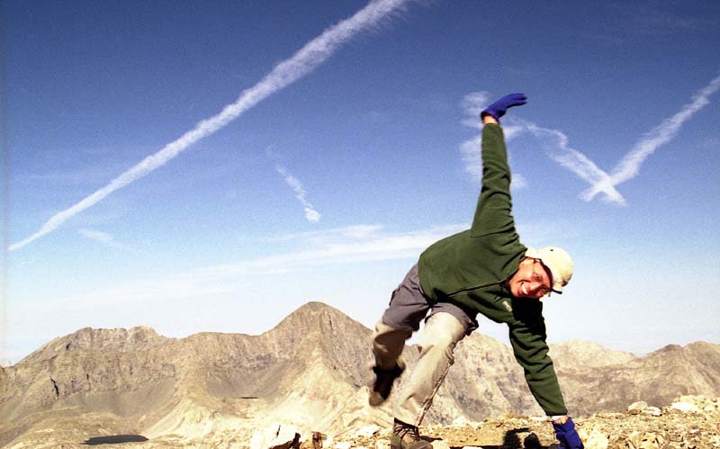
As you can tell, I'm overjoyed to be on top of Lindsey. I'm not sure if it is the thin air, the amazing scenery, or all the endorphins, but summiting a 14'ner is always a special experience.
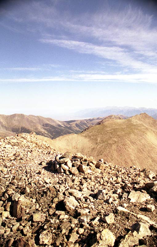
Looking over at the Crestones, I feel the siren call of the majestic spires -- I'll have to plan a trip there soon.
The Great Sand Dunes are visible to the left of the Crestones.
|
|
|
|
|
|
|
|
|
|
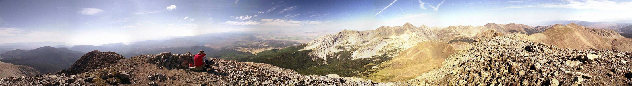
For the full panoramic [170 kb], click this thumbnail:
|
|
|
||
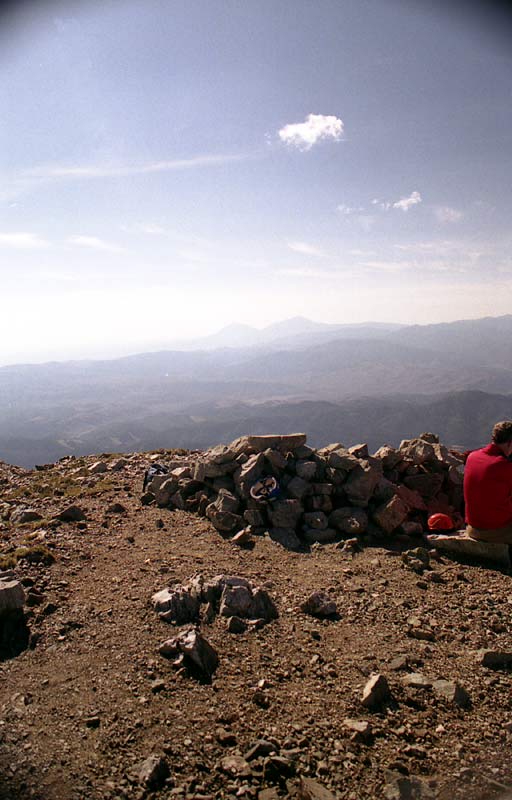
And of course, we could leave the summit without carefully contemplating the awesome wall between Blanca and Ellingwood Point.
After about 20 minutes on the summit, we
headed down -- Fort Collins and Boulder are a long drive from this part of the
state.
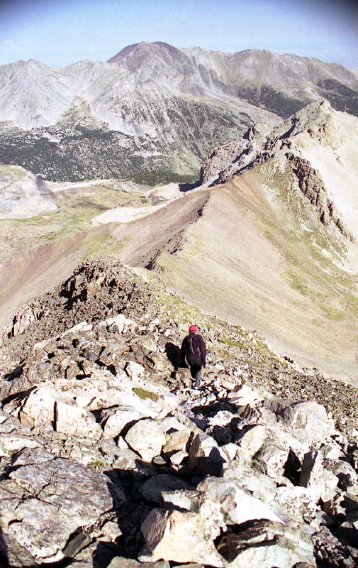
Here's the view looking down the Northwest Ridge toward the saddle. The crux is yet to come.
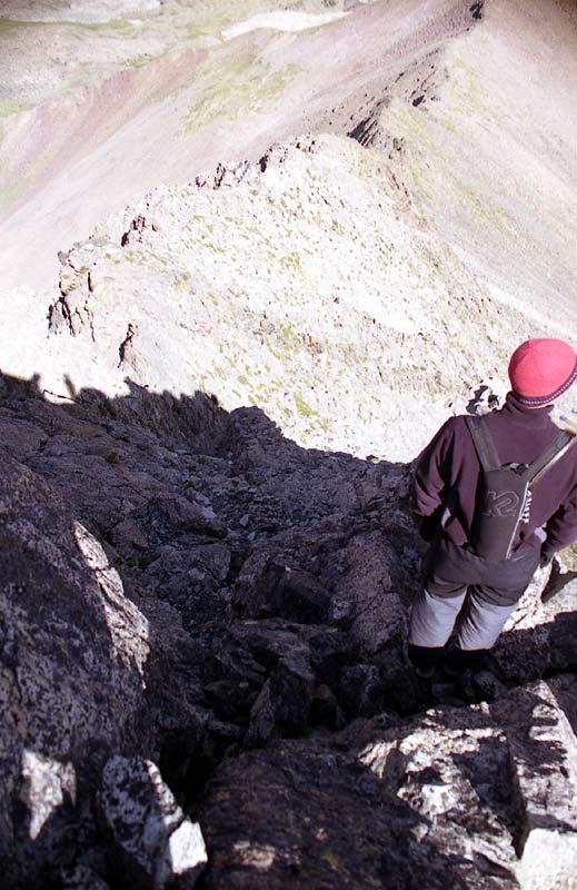
Here's the view as you drop down into that steep gully. As you can see from this perspective, it's not as steep as it looks when looking up.
This is near the crux of the route.
On the way back, the sun angle was much better for photography. The rubble-filled option 1 is the gully in the center of the picture. Look carefully to the right and you'll see the more interesting option 2.
Look carefully at the close-up to spot the routes.
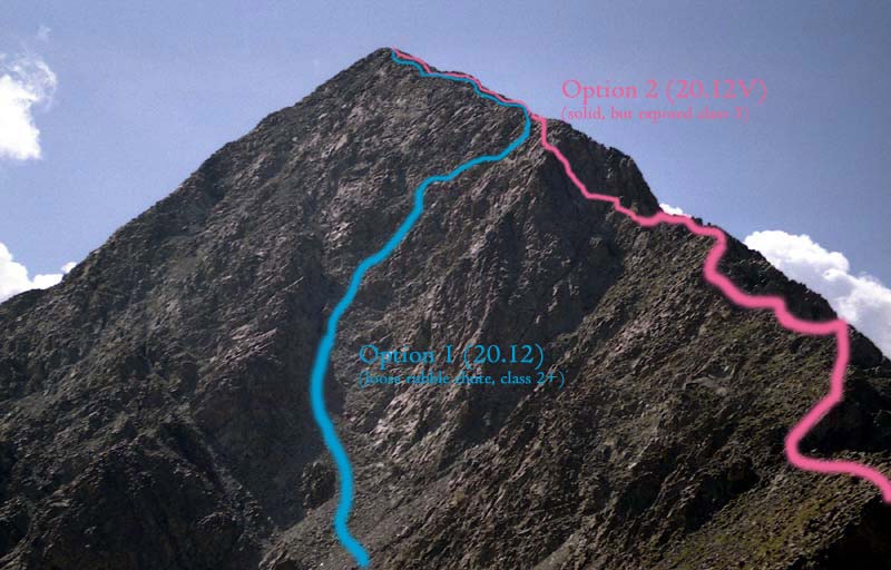
Since I didn't go up option 1, I can't vouch for the accuracy of my description.
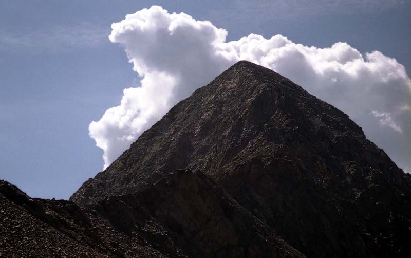
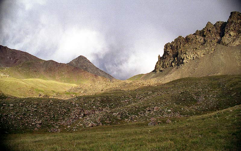
The day's first cumulus clouds (a sign of potential storms later) form over Lindsey. As I descended from the saddle, Eric, who was full of energy, ran up and over to the Iron Nipple (El. 13,500 ft).
The little black dot at the center top is Eric. At this point, he's about 1200 feet higher than me. He elected to come back on the trail -- about 20-30 minutes later, he was already back at camp!
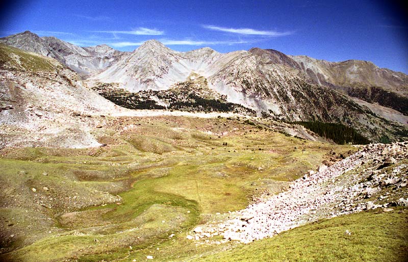
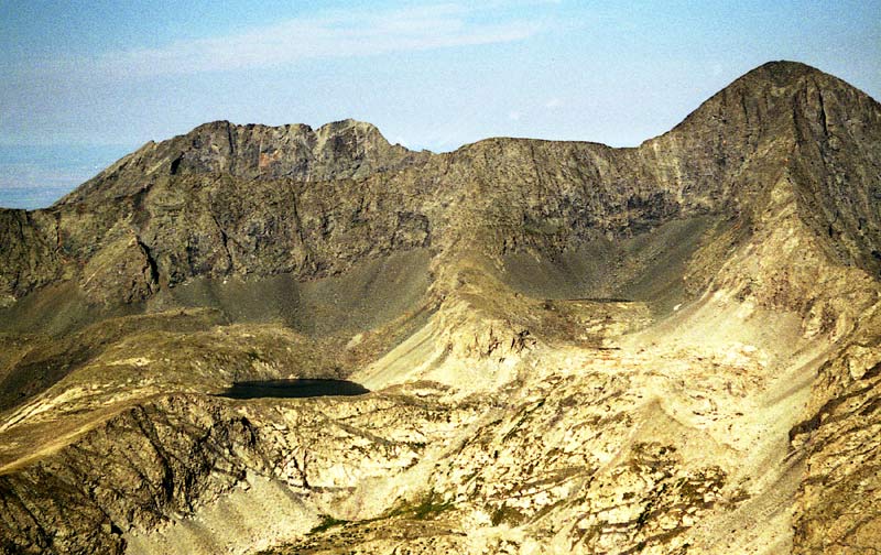
Here's the view of the basin we camped in. You can see the faint trail running through the center of the meadow. Our camp was behind a small hillock just below the small dark pond near center left (the last water source you'll likely find on this route). The forlorn basin was looking more lovely than the day before given the bright skies.
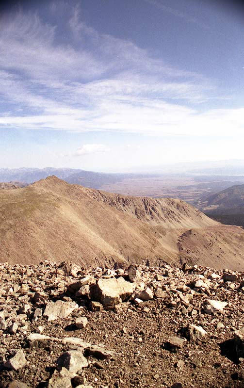
It only took about an hour to get down to our camp. The hike out to the trailhead was quick as well. We arrived at the car at around 12:30 pm. Here's a final view of Blanca's wall, as seen from the river valley.
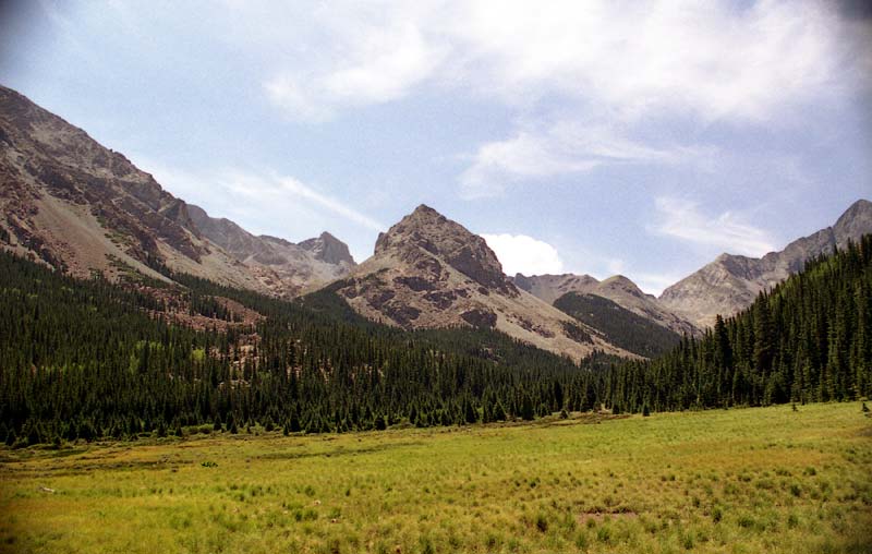
On the way out, several hikers alerted us to a couple problem bears by the trail. It looks like the bear ransacked this campsite in search of food. We didn't actually see the bears, but they must have been close by, since this had recently happened according to some hikers we passed.
Here's a final view looking up the valley, about a third of a mile from the trailhead.
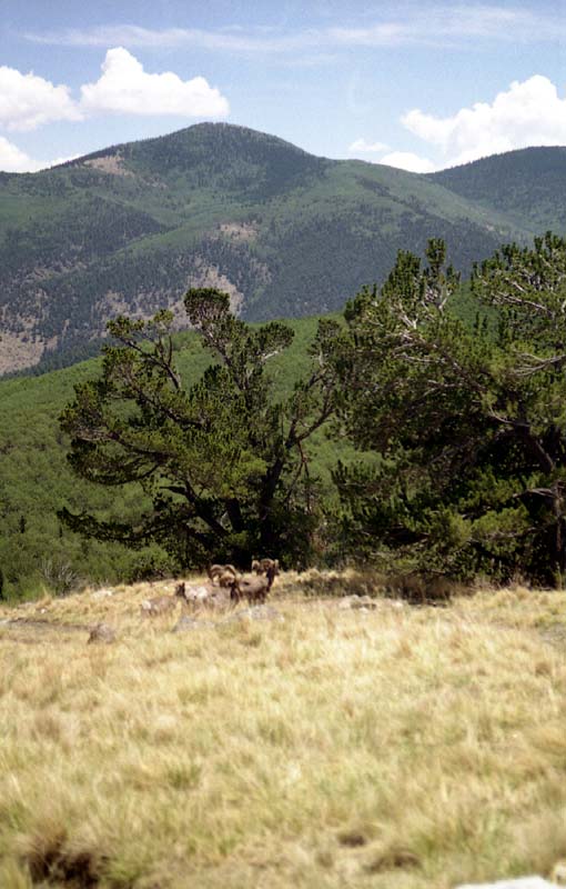
On our way back toward civilization, we spotted a small group of Big Horn Sheep hanging out.
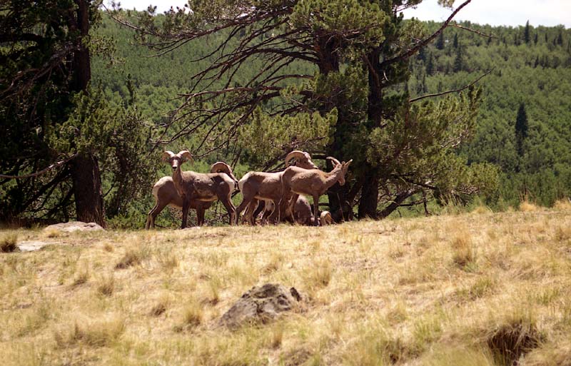
Here's a close-up, before they turned their butts toward the camera.
The drive back was long, but uneventful. Apparently, Walsenburg doesn't have a Taco Bell (my favorite 14'ner recovery meal), so we had to drive all the way up to Pueblo -- but it was well worth it. The trip back up the Front Range topped off a splendid adventure.
Total round-trip distance was 7.8 miles, with a vertical climb of 3,400 feet. The difficulty was class 3, due to the interesting and exposed crux up the cliffs. For more route info, see 20.12V Northwest Ridge in Gerry Roach's 'Colorado's Fourteeners: From Hikes to Climbs'.
Home | About this Site | Disclaimer || Site Map | Subscribe to be notified when new content is posted to this site
|
Home | About this Site | Disclaimer || Site Map | Subscribe to be notified when new content is posted to this site
|