
Home | Personal | Outdoors | Travels | Blog | Work | Weather | Site Map
|
Home | Personal | Outdoors | Travels | Blog | Work | Weather | Site Map
|
|
|
Home | Personal | Outdoors | Travels | Blog | Work | Weather | Site Map
|
Eric and I hiked this lovely peak. The views were awesome and the trails were steep.
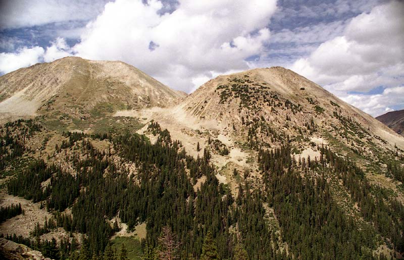
La Plata is the fifth highest mountain in Colorado. Named after the Spanish word for "silver", due to rocks of that color on the northern slopes, La Plata is impressive, even though it is not the highest peak in the area (Elbert and Massive are several miles away). The mountain is known for the jagged, knife-edged Ellingwood Ridge.
The approach to La Plata was very easy -- we simply drove up to the trailhead on Hwy-82 and parked. After grabbing a quick meal of burritos, we hit the trail. The weather was cloudy and cool, with some intermittent sprinkles.
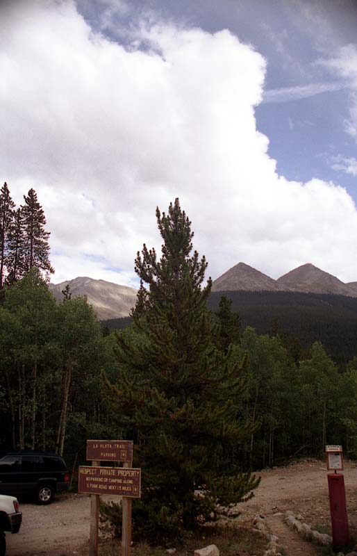
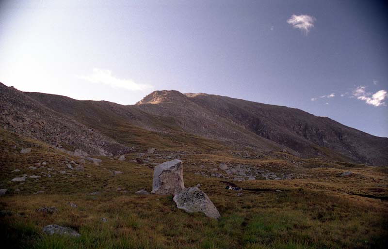
This is the view of La Plata from the trailhead.
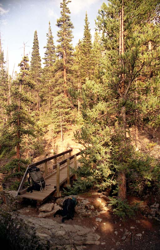
After a short distance, we crossed another creek.
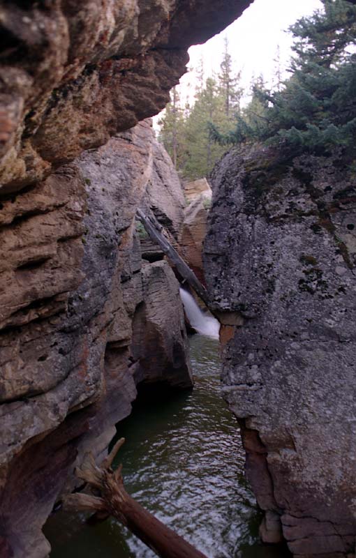
This creek had worn a small slot canyon, reminiscent of some of its deeper cousins in Utah and Arizona.
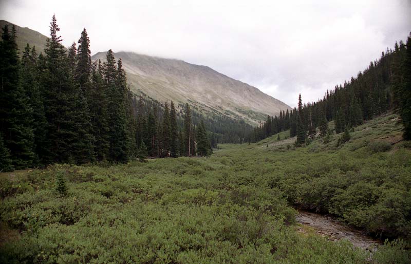
After the creek, the trail climbed steeply, then leveled out into this beautiful gulch. We camped just a little further up the trail, before the trail zigzagged up to the La Plata's northwest ridge.
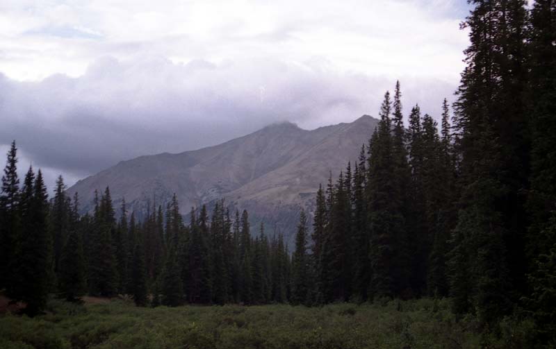
A cold rain shower came over just as we were setting up camp. The shoulder of Mount Elbert (El. 14,440 ft) looms in the distance.
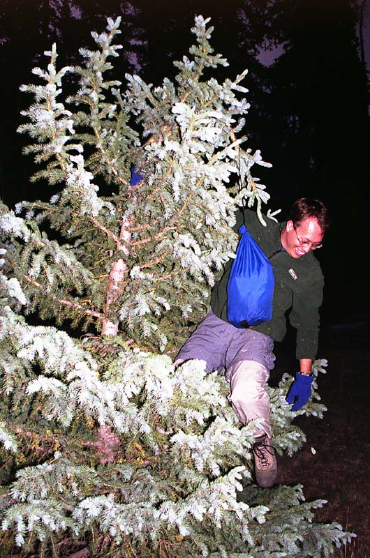
After eating supper, I attempted to stash our food up in a tree so that it would be safe from any hungry bear that might wander along. I'm not sure if I accomplished anything, but it was a fun endeavor. Perhaps the food was safe from the mice? Overnight it got pretty cold, with some frost on the tent when I awoke.
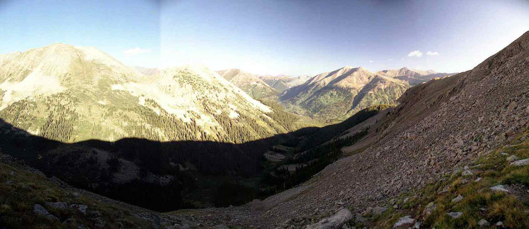
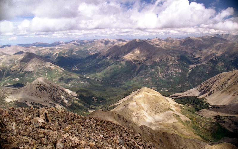
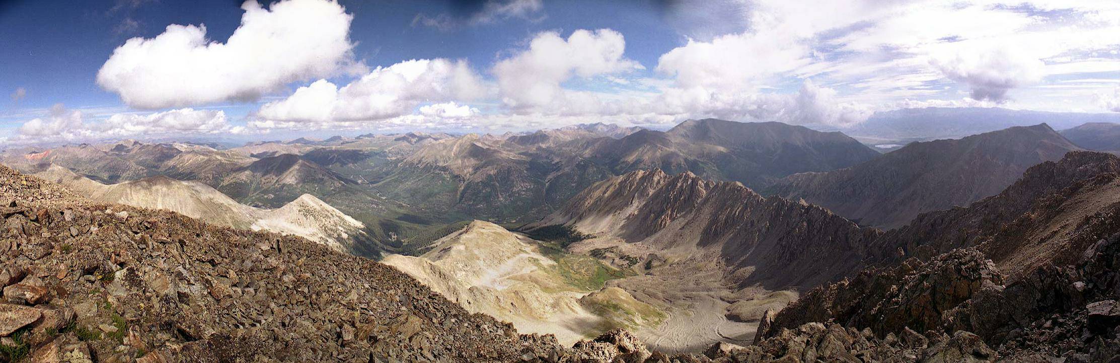
The next morning, we started out bright and early. The trail immediately climbed steeply from the gulch where we had camped. The trail redefined the meaning of switchback as it wound up the steep hillside. After about a 1000 feet of this, the trail emerged onto a bench which offered awesome views of the valley and mountains. This panorama looks to the northwest towards Independence Pass. Click the panorama for an enlarged view.
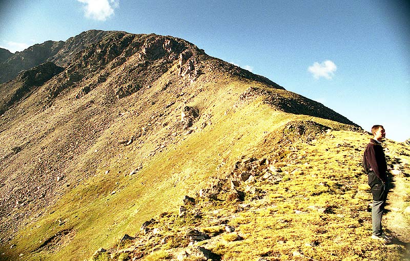
From the bench, you can look up the long Northwest Ridge towards the summit.

After about an hour of tedious steeps, we were treated with this awesome view of the spectacular Ellingwood Ridge. This jagged knife-edge ridge offers one of the more challenging 14'ner routes. Perhaps we'll come back and try it some day. Click the picture for the full size version.
This is toward the summit from where we had just gained the ridge. The ascent was pretty straightforward from here, with just a little route finding in a few places. In general there was a trail, but it was hard to find in the rocks.
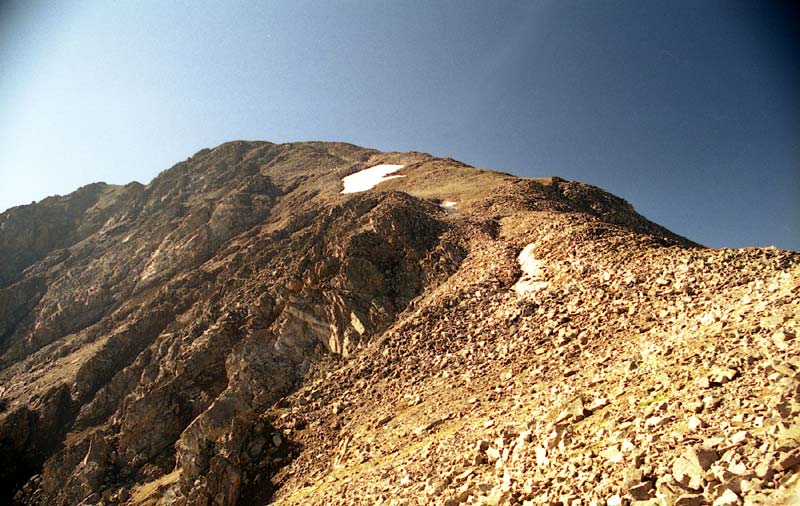
Here's another view from a little higher up. You are looking up the ridge towards the summit, which still seems far away.
We got to the top about 2 hours after we started hiking from our campsite. The weather was cool and breezy, but overall, quite good -- for a 14'ner.
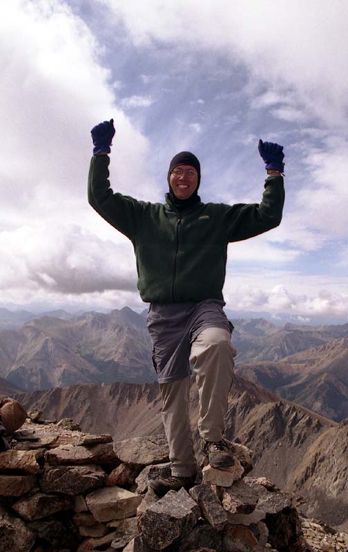
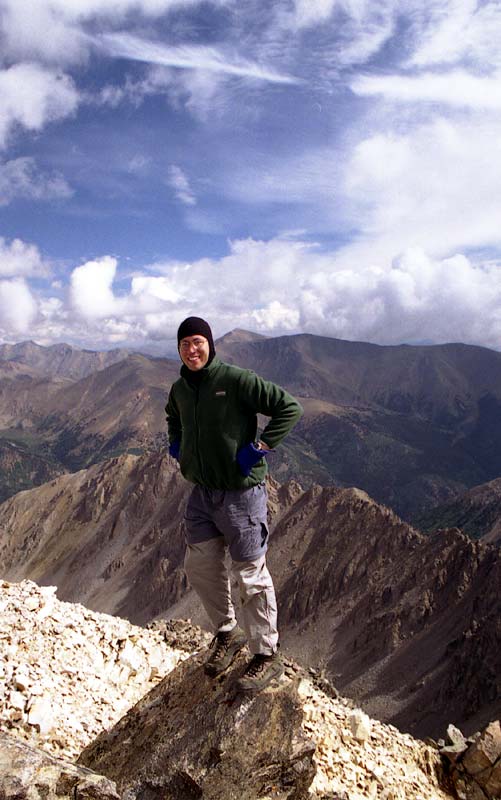
Ahhh, the thrill of standing on Colorado's fifth highest 14'ner! It was worth the steep climb.
This panoramic is looking northwest over Ellingwood Ridge and Independence Pass. Click the picture for a larger view.
La Plata's summit had a very nice view of the surrounding Sawatch 14'ners. We were also blessed to have some beautiful blue skies along with some picturesque puffy white cumulus clouds.
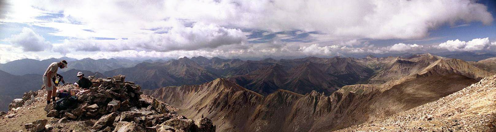
And here is the view looking to the southeast. A couple other guys were at the summit, but it wasn't too crowded. More people arrived from the southern route as we got ready to leave. Click the panoramic for a larger view.
Here I am perched above the imposing Ellingwood Ridge. This position was actually quite precarious with a 20 foot drop on the back side.
Monkey see, monkey do :)
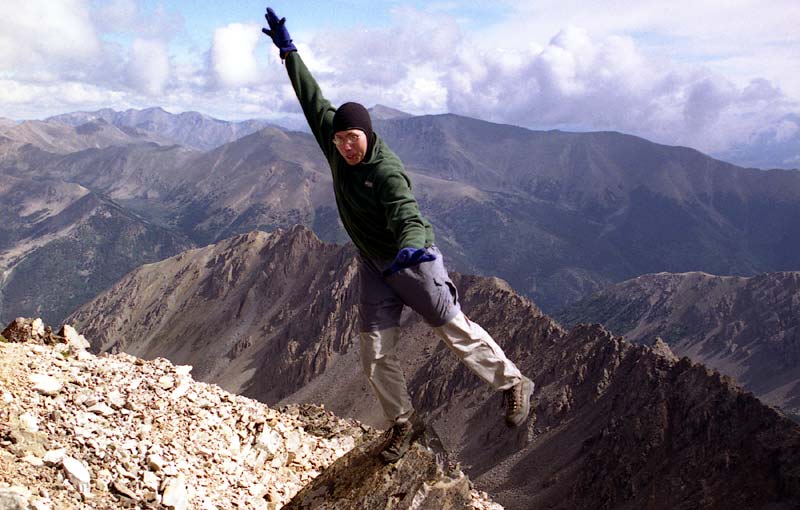
Here's the obligatory 'crazy shot'. Somehow, the picture doesn't capture the precariousness of my position here. Maybe the expression on my face does?
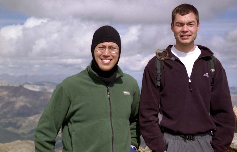
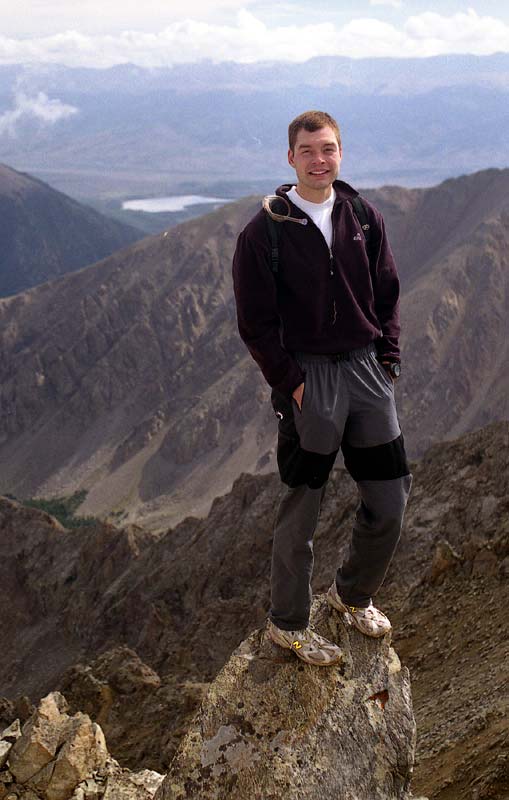
I think this is the 9th 14'ner that I've summited with Eric. We have a symbiotic hiking relationship -- he does the driving and I take care of the photography. We both contribute plenty of goofy humor along the way.
We probably spent less than half an hour on the summit -- it would be a long trip home so we started tearing down the mountain -- until I twisted my ankle after the first 100 feet of descent . . .
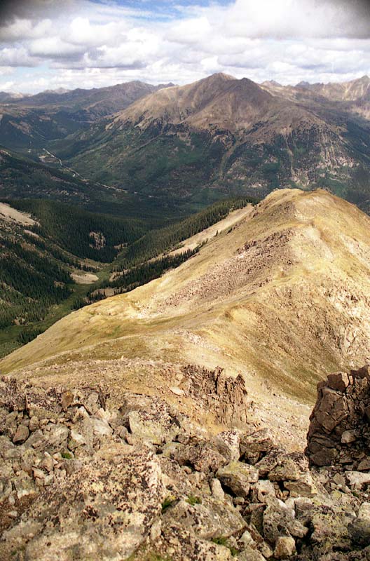
Here's the view looking down the Northwest Ridge. We camped in the gulch to left. Our car is out by the road in the background. From here, it probably took about 45 minutes to get down to our campsite, and another 2 hours to pack up and get out to the car.
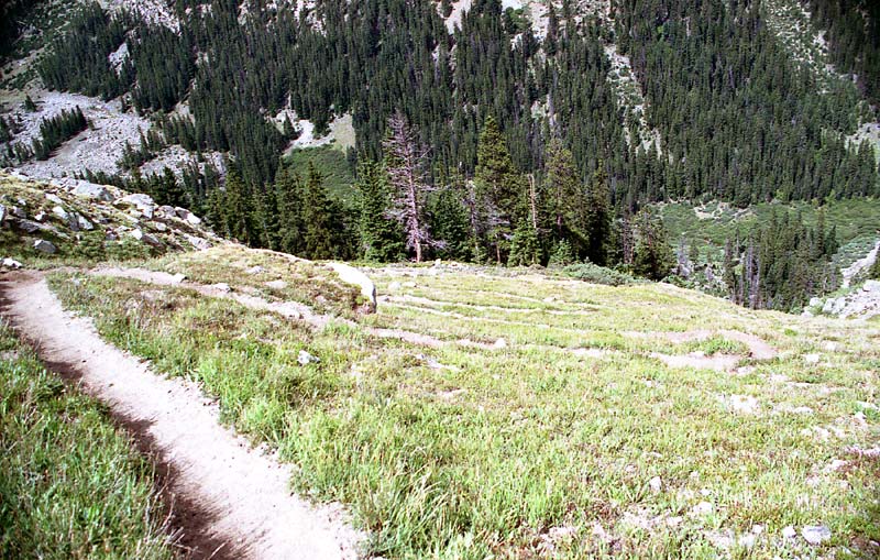
The trail descends from the slight saddle down to the left in a series of steep switchbacks.
This view looks west across the gulch where we had camped the night before.
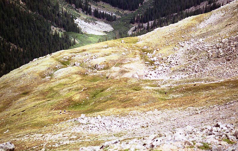
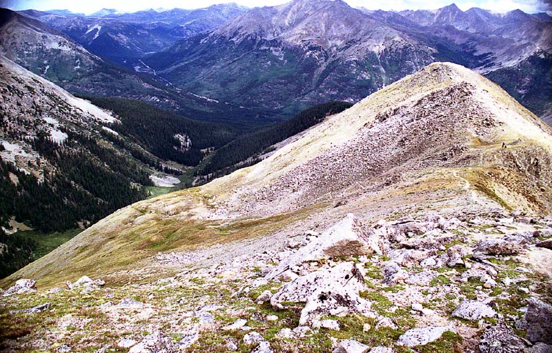
The trail leaves the northwest ridge and descends to the small bench. That little dot is Eric running ahead. Needless to say, we had a quick descent.
I attempted to capture the uh, shall I say "repeatability" of the switchbacks. I didn't count, but there were a lot! It was sure better than trying to walk straight up or down the hill however -- I can imagine that if the grass was wet, you could be in serious trouble without an ice axe (grass axe?) or crampons (mud cleats?).
We hiked a total of 9.0 miles with a vertical climb of 4,300 feet. The route taken was 11.1 Northwest Ridge II. The route was Class 2.
Home | About this Site | Disclaimer || Site Map | Subscribe to be notified when new content is posted to this site
|
Home | About this Site | Disclaimer || Site Map | Subscribe to be notified when new content is posted to this site
|